

Biville / Auderville

BernardHumeau
User

Length
20 km

Max alt
112 m

Uphill gradient
560 m

Km-Effort
28 km

Min alt
3 m

Downhill gradient
609 m
Boucle
No
Creation date :
2020-03-12 13:26:52.727
Updated on :
2020-03-12 13:38:56.047
5h52
Difficulty : Very difficult

FREE GPS app for hiking
About
Trail Walking of 20 km to be discovered at Normandy, Manche, La Hague. This trail is proposed by BernardHumeau.
Description
Dernière étape du " Cotentin", tranquille au départ, les difficultés n'apparaissent que dans la 2ème moitié :rochers,falaises,....histoire de garder de bons souvenirs !!!
Positioning
Country:
France
Region :
Normandy
Department/Province :
Manche
Municipality :
La Hague
Location:
Biville
Start:(Dec)
Start:(UTM)
585069 ; 5496126 (30U) N.
Comments
Trails nearby
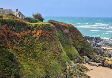
Séjour Cotentin Etape 4 Biville - Les Pieux


Walking
Difficult
La Hague,
Normandy,
Manche,
France

29 km | 35 km-effort
6h 55min
No

ioupi biville 01


Walking
Easy
(1)
La Hague,
Normandy,
Manche,
France

9.5 km | 11.3 km-effort
2h 11min
Yes
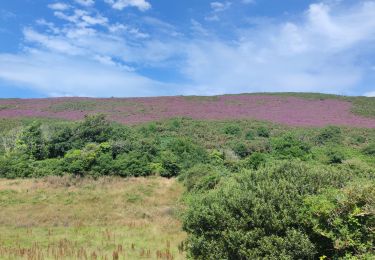
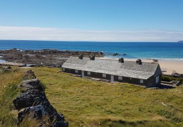
Béquille - blockhaus-plage Dielette port et retour


Walking
Easy
Héauville,
Normandy,
Manche,
France

11.8 km | 13.5 km-effort
3h 10min
No
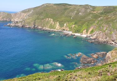
Vauville - Côte Soufflée A/R


Walking
Very difficult
La Hague,
Normandy,
Manche,
France

22 km | 33 km-effort
4h 32min
Yes
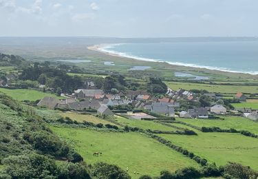
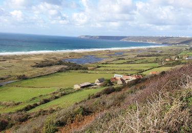
Vauville, dunes de Biville Héauville


Walking
Easy
La Hague,
Normandy,
Manche,
France

21 km | 25 km-effort
4h 13min
Yes
Run and Bike Haguard 2013 - Sainte Croix Hague


Running
Difficult
La Hague,
Normandy,
Manche,
France

21 km | 27 km-effort
2h 30min
Yes
Run and Bike Haguard 2013 - Sainte Croix Hague


Mountain bike
Medium
La Hague,
Normandy,
Manche,
France

21 km | 27 km-effort
1h 30min
Yes


 SityTrail


